A powerful earthquake struck Sabah, Malaysia, measuring 7.1 on the Richter scale | World News
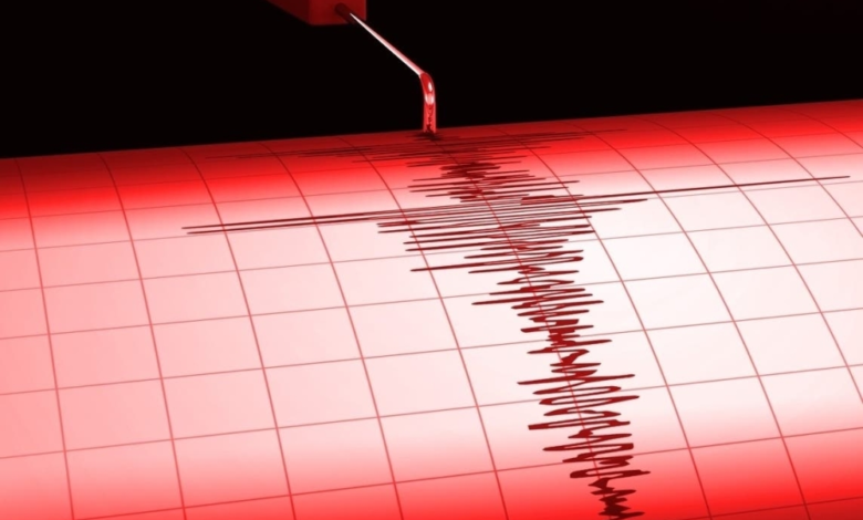
A powerful earthquake measuring 7.1 on the Richter scale struck off the coast of Sabah state in Malaysia, on the island of Borneo, early Monday morning local time. Despite its magnitude, the earthquake's great depth prevented major damage or the issuance of tsunami warnings, bringing both shock and relief to local residents and international observers.
According to the U.S. Geological Survey (USGS), the earthquake's epicenter was located at an exceptional depth of approximately 619.8 kilometers below the seabed, less than 100 kilometers northeast of Kota Kinabalu, the capital of Sabah state. The USGS explained that this great depth was the primary reason most of the seismic energy dissipated before reaching the surface, thus explaining the limited sensation felt and the lack of initial damage.
Geological context: Malaysia and the Ring of Fire
Malaysia, specifically the states of Sabah and Sarawak on the island of Borneo, lies close to the Pacific Ring of Fire, a region known for its high seismic and volcanic activity. This region marks the boundary of several major tectonic plates, including the Pacific Plate, the Philippine Sea Plate, and the Indo-Australian Plate, which constantly interact with the Eurasian Plate. This ongoing friction and collision between the plates is the primary cause of the region's frequent earthquakes. Although Malaysia is not directly on a major fault line, it is affected by the strong seismic activity in neighboring countries such as Indonesia and the Philippines.
The importance of earthquake depth and its impact
The depth of an earthquake is a crucial factor in determining its destructive impact. Shallow earthquakes (those occurring at depths of less than 70 km) are more dangerous because their seismic waves reach the surface with their full force. A prime example is the Sabah earthquake of 2015, which measured only 6.0 on the Richter scale but occurred at a depth of just 10 km, resulting in significant loss of life and damage, particularly around Mount Kinabalu. The recent earthquake, while many times more powerful in terms of energy released, was so profoundly deep that it was considered more of a geological phenomenon than a natural disaster.
The US Tsunami Warning Center confirmed there was no tsunami threat, as deep earthquakes rarely cause significant displacement of the ocean floor, the essential condition for tsunami generation. The Malaysian Meteorological Department estimated the earthquake's magnitude at 6.8 and reported that residents of the west coast of Sabah and parts of Sarawak felt minor tremors. The department added that it was continuing to closely monitor the situation for any possible aftershocks.