Saudi Arabia weather forecast for Friday: Thunderstorms, fog, and strong winds
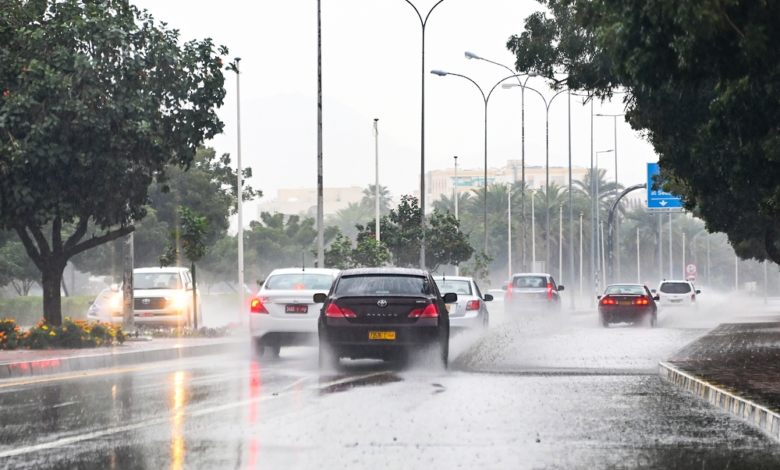
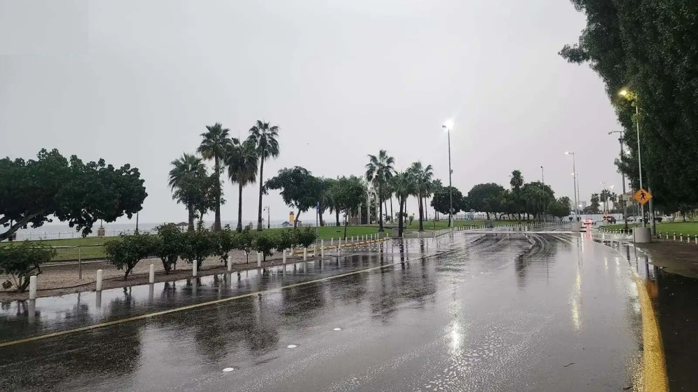
The National Center for Meteorology issued its daily weather report for Saudi Arabia on Friday, revealing widespread weather fluctuations affecting large parts of the Kingdom. The center explained in its statement that there is a chance of moderate to heavy thunderstorms, accompanied by hail and strong winds that may stir up dust and sand, potentially reducing horizontal visibility in several areas.
The weather forecast includes the regions of Al-Baha, Makkah, Madinah, Hail, Al-Qassim, and Riyadh, extending to the northern parts of the Eastern Province. The report also indicated continued chances of thunderstorms and rain over the highlands of the Jazan and Asir regions. In a related matter, the center warned of dense fog during the night and early morning hours in parts of the aforementioned regions, as well as the Northern Borders and Al-Jawf regions, urging caution while driving on highways and open roads.
The importance of early warning and the climate context
These weather fluctuations are part of the transitional climate period the Kingdom is experiencing. Saudi Arabia's diverse geography directly influences weather patterns. The National Center for Meteorology, through its automated early warning system, monitors these conditions with high precision using the latest technologies and satellites, aiming to provide accurate information to relevant authorities and the public to ensure public safety.
These warnings are of paramount importance due to their direct impact on intercity travel, especially in areas with high traffic density such as Riyadh and Mecca. These rainy conditions are typically accompanied by official calls from the Civil Defense to stay away from floodplains and valleys, and to adhere to safety instructions during rainfall and flash floods.
State of the Red Sea and the Arabian Gulf
Regarding the maritime situation, the center provided the following details:
Red Sea
- Surface winds: They will be northwesterly to northerly in the northern and central parts, and will turn southeasterly and southwesterly in the southern part, with speeds ranging from 20 to 40 km/h, and may reach 50 km/h with the formation of thunderclouds.
- Wave height: It ranges from one to two meters, and may exceed two meters in the event of thunderstorms and rain, especially in the southern part.
- Sea conditions: The waves are described as light to moderate, and may become rough in conjunction with the rainy conditions in the south.
Arabian Gulf
- Surface winds: Northwesterly to northeasterly winds, with speeds ranging between 15 and 30 km/h, reaching speeds of up to 50 km/h when thunderstorms are present.
- Wave height: It starts from half a meter and reaches one and a half meters, and may reach two meters with thunderstorms.
- Sea state: Light to moderate waves, turning rough in turbulent weather conditions.